3D LASER SCAN
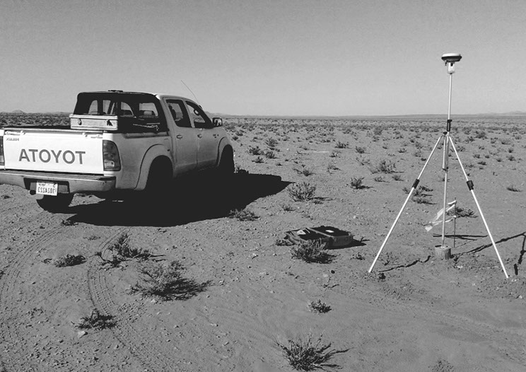
TOPOGRAPHIC SYRVEY
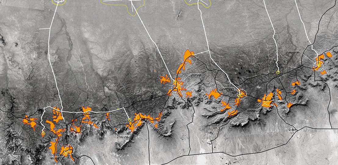
GIS & MAPPING
HOME
ABOUT US
OUR VISION
OUR STAFF
OUR SERVICES
CONTACT US
Survey & Mapping
Handicrafts School Building, Apt. 3
Kuwait Street, Tripoli, Libya
Phone : + 218 21 333 1243
Fax : + 218 21 3339777
Email: info@kasaba.ly